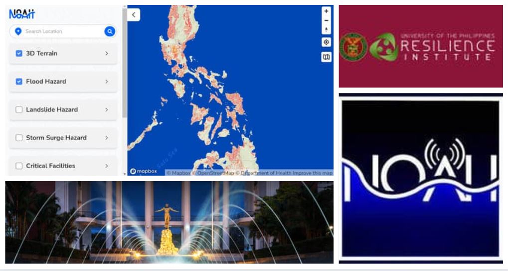
The UP NOAH launched its revamped website for a more user-friendly experience.
The University of the Philippines Nationwide Operational Assessment of Hazards (UP-NOAH) is making good on its mission to build Filipino resilience against disaster.
UP NOAH presented its revamped website on October 4, 2021, featuring a better interface from Mapbox that allows the user to more easily understand the potential hazards surrounding a location and the safety precautions one has to remember.
The UP NOAH Center is the core component of the UP Resilience Institute (UPRI), the state university’s comprehensive program to aid in the nation’s disaster risk reduction and management and climate change adaptation by providing data that can be used for science-based decisions.
The revamped UP NOAH website aims to allow anyone in the Philippines with internet access to know the hazards in their own neighborhood and how to prepare for calamities.
Information on the website can also be used for policy-level decisions for the optimal placement of evacuation areas and which households need to be prioritized during calamities.
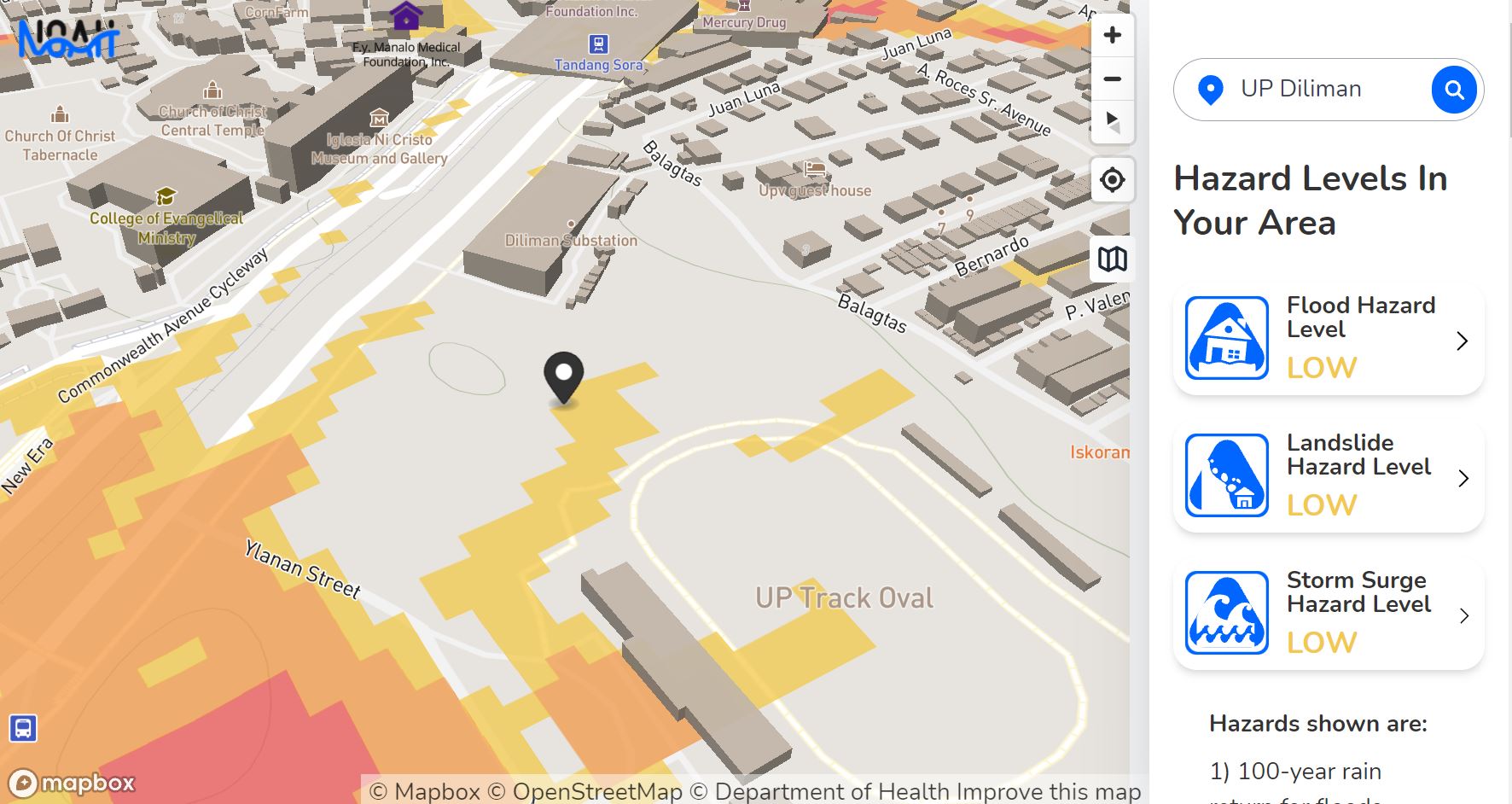
Screenshot of UP NOAH assessment of UP Diliman Campus hazards.
The UP NOAH website features the following improvements:
- Typing your location or using your gadget’s locator on the UP NOAH home page results in the map showing the varying color-coded levels of Flood, Landslide, and Storm Surge Hazards. The hazard levels are based on flood simulations as well as satellite and historical data.
- The 3D terrain map can be zoomed in and out, seen from above and at eye level, and moved from location to location for better viewing.
- Clicking on an identified hazard results in a description of what to expect and provides a To-Do List in the event of a disaster.
- The hazards map then directs the user to nearby Critical Facilities that will be needed during disasters such as health and medical centers, fire and police stations, and schools that usually serve as evacuation centers.
- More detailed technical information with features on the 3D Terrain and hazards, rainfall contour, sensors, and weather satellite images are available on the NOAH Studio feature.
The present UP NOAH is a continuation of the previous Project NOAH which wrapped up its 4 years of experience of multi-awarded and internationally recognized efforts in collaboration with the Department of Science and Technology (DOST) in 2017.
The science and technology program returned to UP as a multidisciplinary research center housed in the UP National Institute of Geological Sciences (UP NIGS) and directly under the Office of the President in UP and led by Dr. Alfredo “Mahar” Lagmay, who also serves as the UPRI executive director.
The UP NOAH website is still on beta release. Dr. Lagmay shared during the launch forum that the landslide and storm surge hazards cover the entire Philippines. The flood hazard is at about 70% complete, the level of mapping reached when the former Project NOAH ended. The UP NOAH and UPRI chief said they welcome volunteer mappers who can help them complete the street mapping.
CHECK OUT your location’s hazard mapping on the UP NOAH Website in this link and SHARE THIS STORY to help build Filipino resilience against disasters.
(This article was first published in Good News Pilipinas on October 4, 2021.)


