
Cavite State University (CvSU) and University of the Philippines (UP) Diliman recently signed a Memorandum of Agreement (MOA) on a collaborative project entitled “Development of Integrated Mapping, Monitoring, and Analytical Network System for Manila Bay and Linked Systems (MapABLE). The project is a component of a two-year research undertaking funded by DOST-PCIEERD titled “Integrated Mapping, Modelling, and Management System for Manila Bay and Linked Systems (IM4ManilaBay) Program”. Project MapABLE aims to develop and deploy an integrated system for mapping and monitoring of the water quality of Manila Bay and linked systems including major river tributaries using geospatial technologies and citizen science.
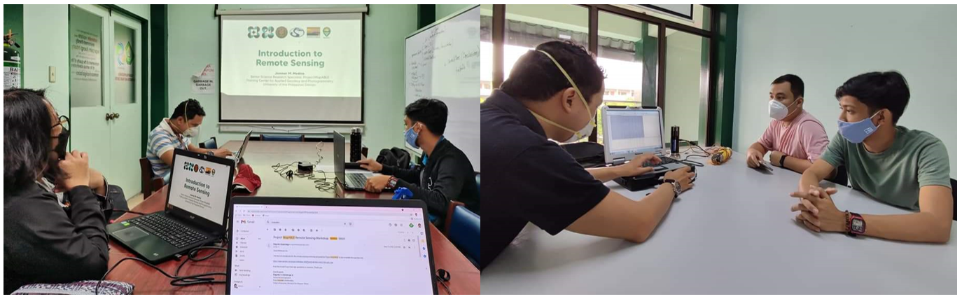
As part of the collaboration, Engr. Edgardo Gubatanga and Engr. Amihan Manuel of University of the Philippines, Diliman visited CvSU on 21-23 July to conduct a three-day workshop on remote sensing and water quality monitoring particularly on chlorophyll and turbidity parameters, The workshop was participated by Mr. Junser P. Magpantay, Instructor from the Department of Forestry and Environmental Science (DFES) of the College of Agriculture, Food, Environment and Natural Resources (CAFENR) and Mr. Jhon Laurence B. Herrera, administrative assistant of Sugar Palm Research, Information and Trade (SPRINT) Center.
The highlights of the three-day workshop include image classification using QGIS software and Earth observation processing and analysis using the SNAP software. Also, the use of water quality multi-parameter equipment for the monitoring of water quality was introduced and demonstrated wherein fieldworks was conducted in nearby rivers located in Brgy. Pulo, Binambangan bridge and Kaytapos bridge, all located in the Municipality of Indang.
(This article, written by JLBHerrera, was first published in the UPOU Website on July 29, 2021)